On this page
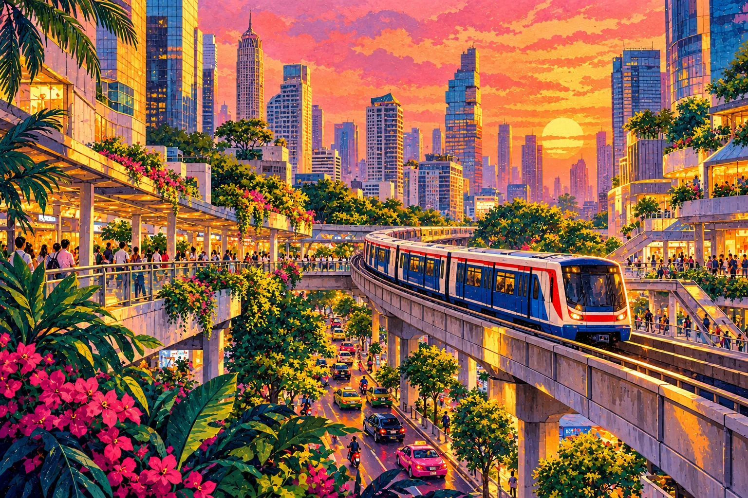
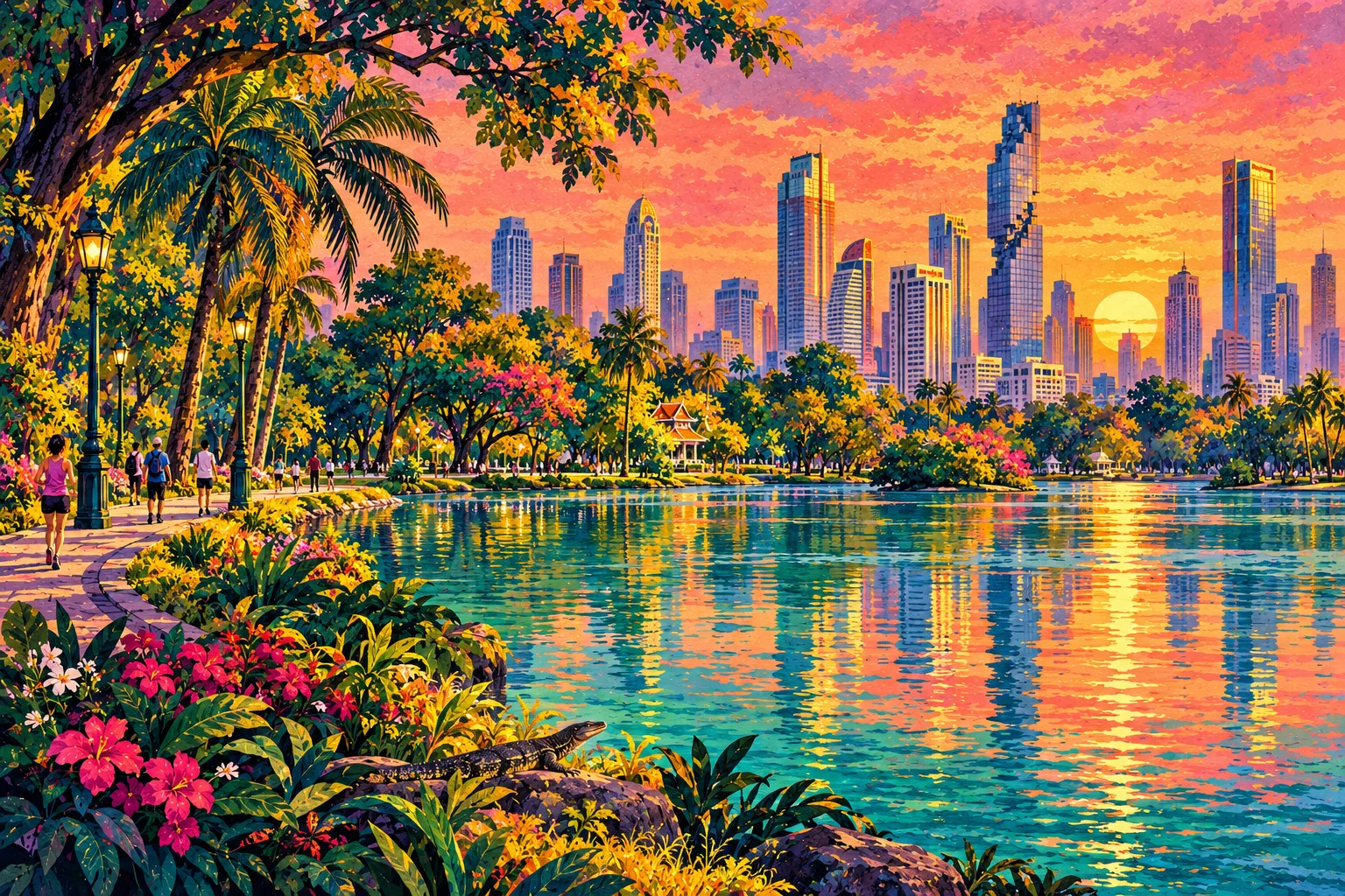
Silom and Sathorn are Bangkok’s financial district — towers, office workers and great lunch spots — but after dark they become one of the city’s liveliest areas. Lumphini Park is the green lung at one end; the river is at the other.
Why stay here
- BTS and MRT both run through it, and the riverside is a few stops away.
- Some of Bangkok’s most famous rooftop bars are here.
- Lumphini Park for morning runs, monitor lizards and outdoor aerobics at sunset.
What to do
- Lumphini Park early morning or around 6 pm.
- A rooftop bar at sunset — book ahead on weekends.
- Patpong night market and the bars around Silom Soi 2 and 4.
- Chong Nonsi Skywalk for city views from the BTS.
Local tip: Silom Road’s lunchtime street food feeds thousands of office workers — quality is high and prices are low. Go at 11:30 to beat the noon rush.
Getting here
- MRT Si Lom and BTS Sala Daeng are linked, making it easy to switch lines.